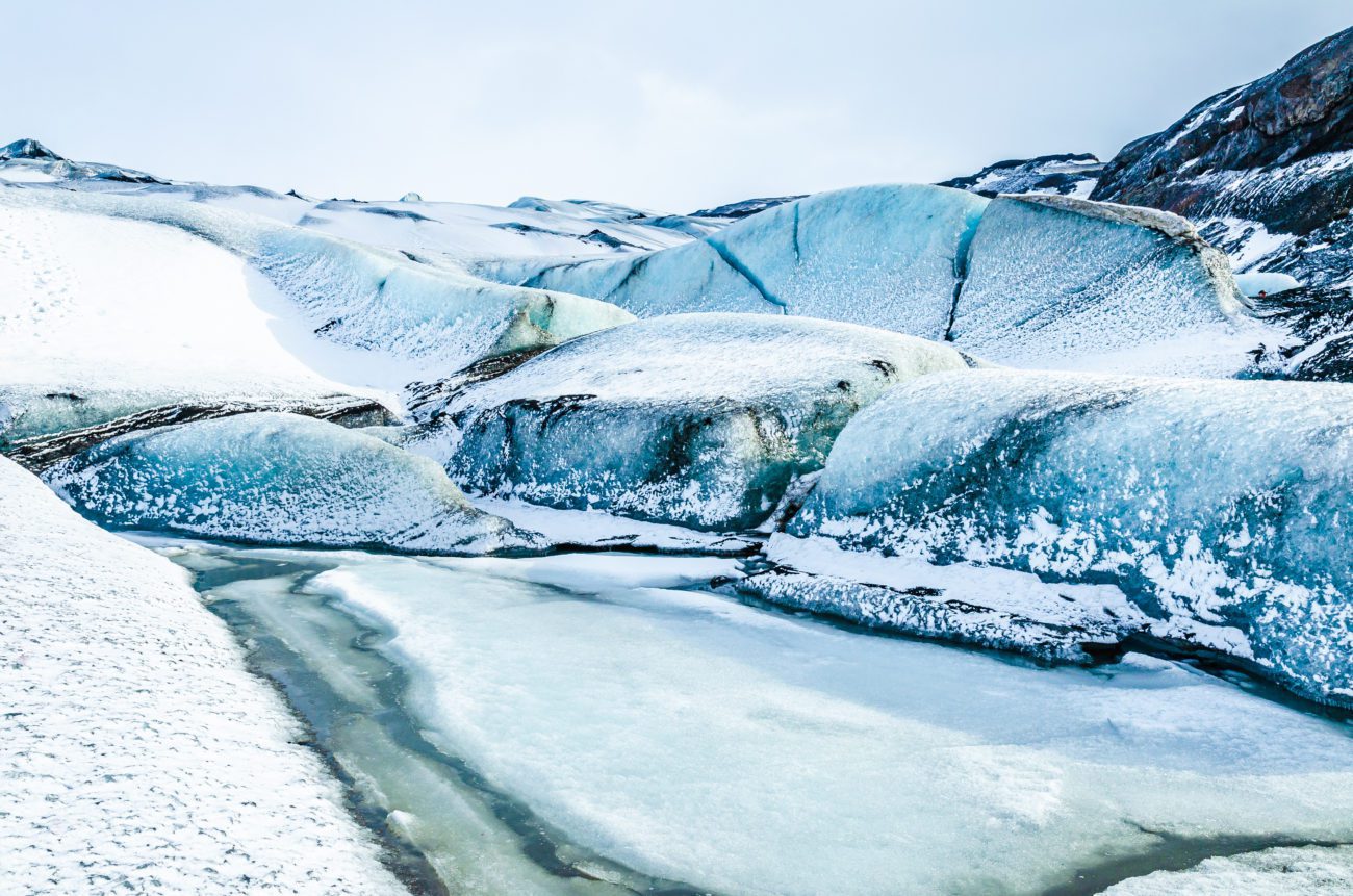
Many of Iceland’s glaciers conceal fiery secrets below the ice. Myrdalsjokull glacier is no exception and covers the highly active and overdue Katla volcano.
Katla volcano’s diameter is 10 km (6 mi), and the volcano usually erupts every 40–80 years. During an eruption, the glacier lying over the volcano’s vent melts. The melted water collects under the ice-cap until it pushes its way out from under the edge in a violent flood. Icelanders call these floods “Jokulhlaup.” Floodwater contains huge amounts of ice, rocks, silt and sand. Actually, past floods are responsible for forming most of the sand plains in Southeast Iceland.
Visiting Myrdalsjokull glacier
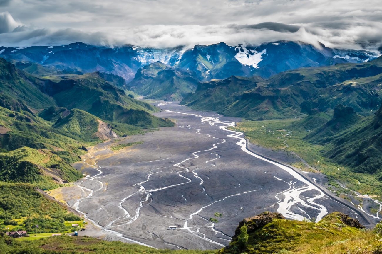
Myrdalsjokull lies to the north of Vík i Myrdal and to the east of Eyjafjallajokull. Actually, the popular Fimmvorduhals hiking trail lies between these two glaciers. Moreover, Myrdalsjokull ice cap is the fourth largest on the island, covering nearly 600 km2 (232 sq mi). Its highest peak reaches around 1.500 m (4.922 ft). When you visit Myrdalsjokull you can enjoy guided glacier adventure opportunities like ice climbing, glacier walking and snowmobiling.
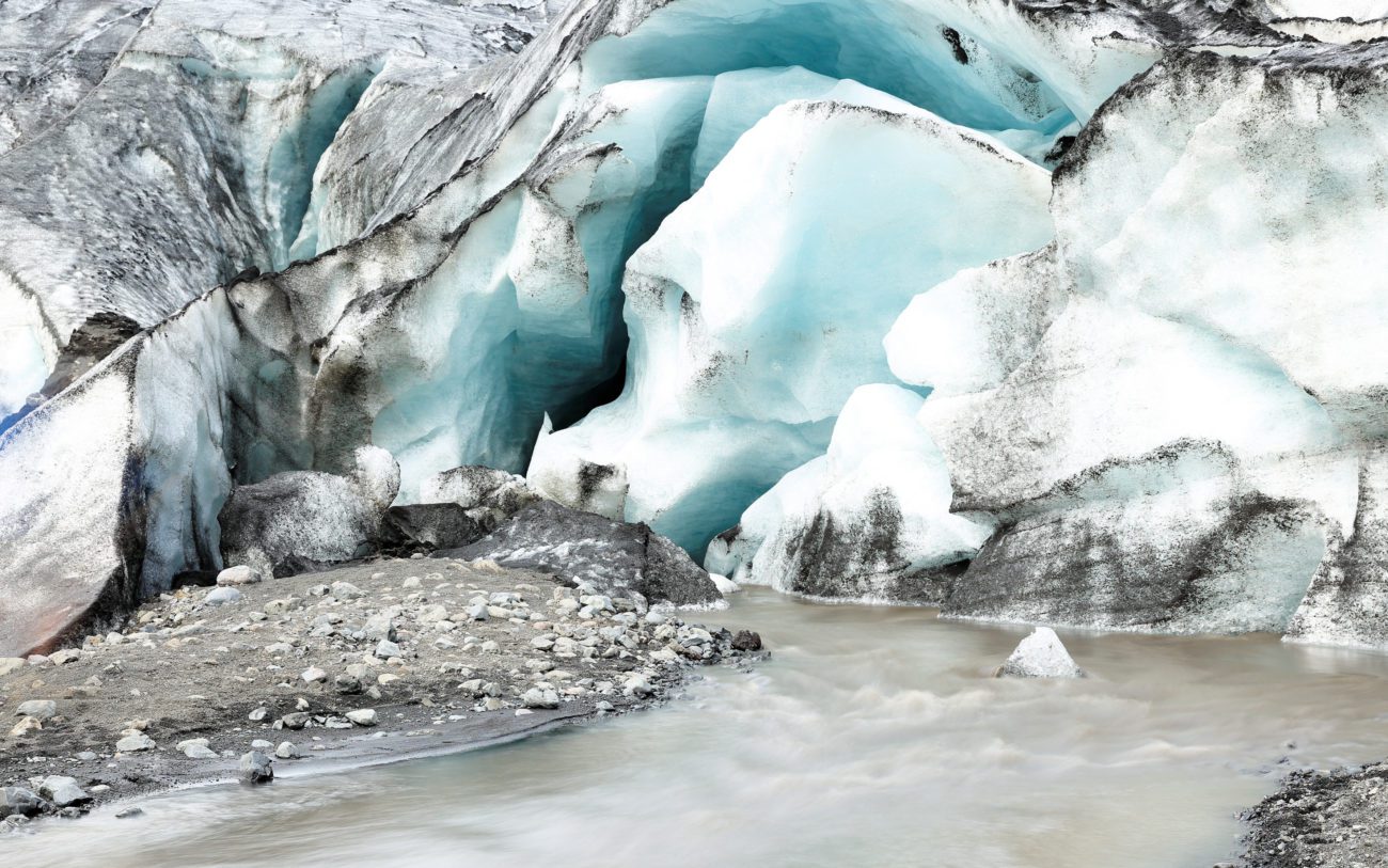
Visitors to the glacier must be extremely careful about crevasses, which can open unexpectedly. Inexperienced travelers should never go onto a glacier without a local guide. Weather conditions shift on the glacier very rapidly, and high winds and snowstorms can appear in a flash all year round.