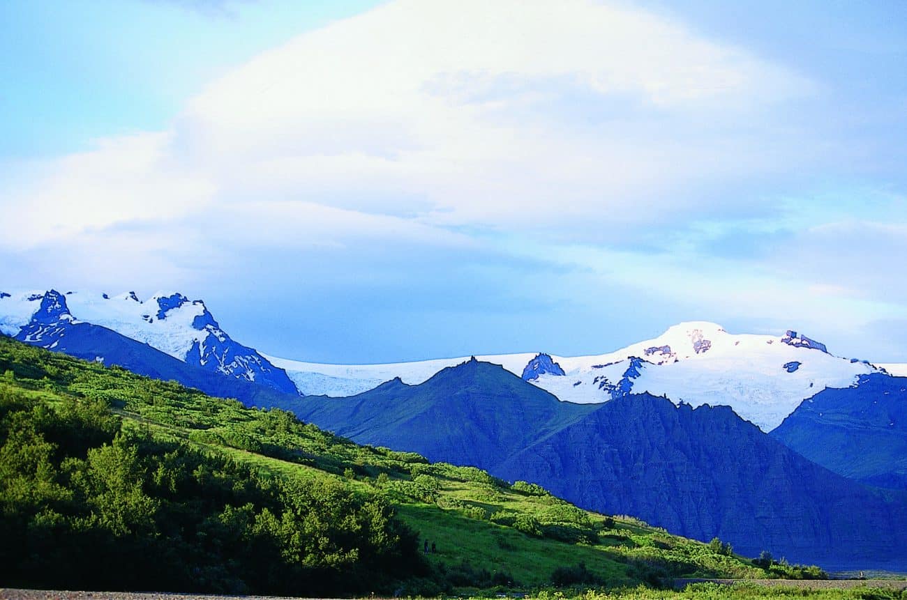
Hvannadalshnjukur is a peak on Oraefajokull glacier, a spur from Europe’s largest glacier, Vatnajokull. In actuality, Hvannadalshnjukur is Iceland’s highest point.
Oraefajokull is an immense, glacier covered volcano that rises over 2.000 m (6.562 ft) straight out of the Atlantic Ocean. It towers over the great black sand deserts of South Iceland. Hvannadalshnjukur is a pyramidal peak situated on the north-western rim of Oraefajokull glacier.
You can see Hvannadalshnjukur peak from many parts of the country, particularly from the Ring Road area between the towns of Hofn and Vik .
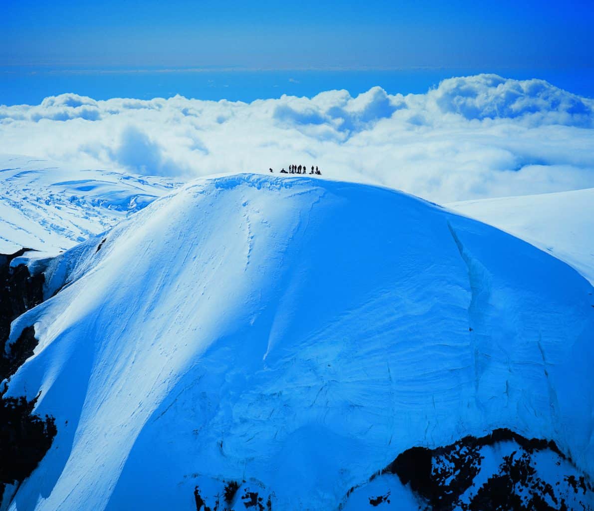
The peak’s official measurement establishes its height as 2.119,6m (6.921 ft).
Oraefajokull’s massive eruption in 1362 destroyed many farms and killed many people. The lava wiped out every settlement around it. The falling pumice was so thick that it posed a huge risk to sailors.
Locals considered the area to be uninhabitable for decades. When people returned forty years later, the volcano was named “Oraefi,” which meant an area without a harbor. Today, many people associate the name as meaning a wasteland.
Hiking in the area
There are many trails in the area you can enjoy, but you should only hike Hvannadalshnjukur itself with an experienced mountain guide. The path up the mountain goes through many crevasses and involves steep inclines over icy ground. These conditions are very dangerous if you are not familiar with the area. There are many tour operators who offer great hiking tours to the summit. Many of these tours start from the Skaftafell area of Vatnajokull National Park. These tours take about a day to hike the peak.
Though you do not need to be an expert hiker, you should have a good level of fitness. Nevertheless, the view from the top is amazing!